How to Explore Los Angeles Without a Car: Practical Tips for Getting Around Like a Local
Los Angeles has a reputation for being a car city, but a growing network of transit, bikes, scooters, and walkable neighborhoods makes it possible to experience the best of LA without driving. Whether you’re visiting for a weekend or living here temporarily, these practical tips help you navigate the city more efficiently, save money, and enjoy LA’s neighborhoods at a human pace.
Choose the right neighborhood base
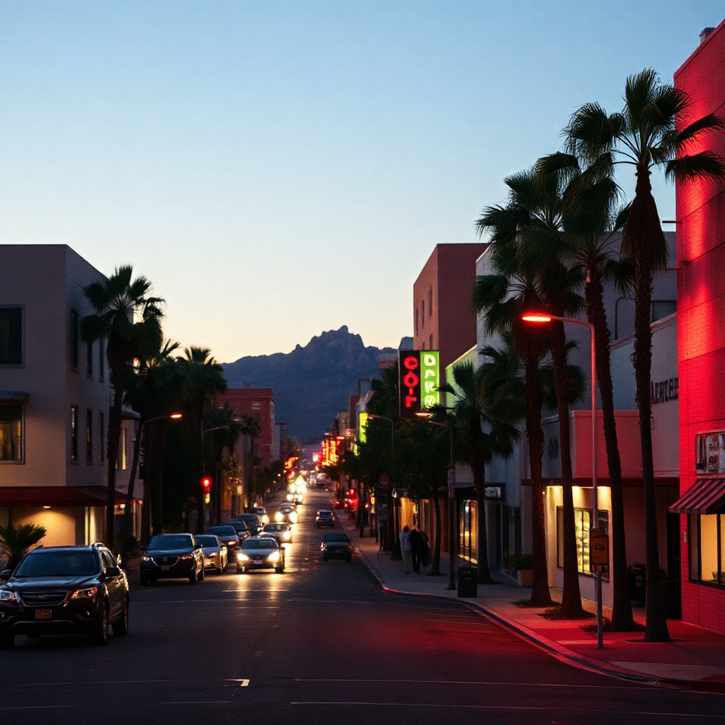
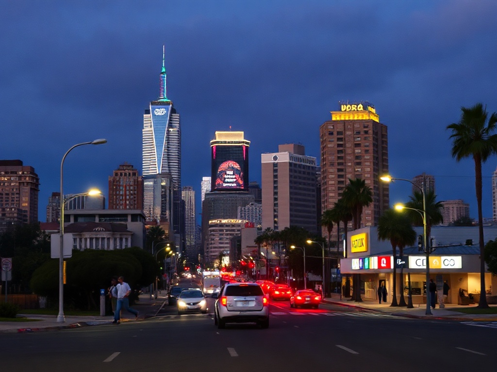
Pick a central, walkable neighborhood that matches your plans. Downtown and the Arts District are great for museums, nightlife, and rail connections. Santa Monica and Venice put beaches, cafés, and bike paths within easy reach. Echo Park, Silver Lake, and Highland Park offer a lively local food scene and short transit rides to attractions. Staying in a compact area reduces time spent commuting and increases the chance of discovering corner cafés, shops, and walking routes you might otherwise miss.
Use transit plus last-mile options
Los Angeles’ transit system includes rail lines and an extensive bus network that serve major corridors and cultural hubs. For the last mile, combine transit with bike-share or e-scooters, which are widely available in central neighborhoods and near stations. Plan trips with real-time transit apps to see schedules, delays, and walking connections. Tap cards and mobile ticketing make transfers seamless; keep small change or a reloadable transit card handy just in case.
Rent a bike for scenic routes
Cycling is one of the most enjoyable ways to cover beachside neighborhoods and greenways. Dedicated bike paths along the coast and protected lanes in many neighborhoods make cycling accessible for a range of skill levels. Look for bike rentals near boardwalks and park entrances, and prioritize bike-friendly streets for safer rides.
Helmets and visibility gear improve comfort and safety, especially for new riders.
Time trips to avoid peak congestion
Rush-hour traffic is a reality, but timing can make a difference. Midday and late evening often offer smoother transit and quieter streets. If visiting popular destinations such as Griffith Park, the Getty, or Santa Monica Pier, consider early morning or weekday visits to avoid crowds and enjoy better parking or transit options.
Walk strategically and pack light
Walking reveals the textures of LA neighborhoods—from murals and independent bookstores to farmers markets and coffee roasters. Pack light and bring comfortable shoes. Because LA’s coastal and inland neighborhoods can feel different in temperature, include a light layer and sun protection. Keep a refillable water bottle and a compact umbrella for unpredictable weather or coastal fog.
Rideshare and car alternatives for flexibility
Rideshare services are useful for late-night returns, destinations not well served by transit, or trips with luggage. For short errands, app-based car-sharing and neighborhood microtransit can be more affordable than taxis. When using any shared mobility option, follow safety best practices: verify vehicle details, share ETA with friends, and choose well-lit pickup spots.
Be mindful of safety and local rules
Follow local traffic laws and pedestrian signals, use marked crosswalks, and respect bike lanes. Keep valuables secure and stay aware of surroundings, especially in busy tourist areas. Many neighborhoods have active community groups and safety resources—check local transit agency notices for service advisories before heading out.
Exploring LA without a car encourages a different kind of discovery: slower, more connected, and often more interesting. With a little planning and an open mind, it’s easy to experience the city’s beaches, culture, and culinary scenes without ever needing to park.